"Cade's County" TV series: "The Mustangers" (premiered Nov. 14, 1971)
Shot in 1971, the "Cade's County" episode "The Mustangers" showcases the Upper Iverson as it existed in the summer following the fires: a combination of dried grass and charred trees and bushes still struggling to survive. The footage documents the regeneration process of the native foliage: The grass had grown back during the winter and spring following the fire, then subsequently dried out as another hot Chatsworth summer set in.
The wildfires raged for 13 days that fall — from Sept. 22-Oct. 4, 1970 — a notorious chapter in California's history of natural disasters. By the time the flames were extinguished, 16 people had perished, 722 homes were destroyed and 576,508 acres had been burned, according to various media accounts.
Laguna Fire, 1970
One of the most infamous fall 1970 wildfires became known as the Laguna Fire, which was also called either the Kitchen Creek Fire or the Boulder Oaks Fire while it was raging. The above map shows the area it destroyed, mainly in eastern San Diego County. Said to be either the second largest or third largest fire in California history at the time, the Laguna Fire broke out on Sept. 26, 1970, as a result of downed power lines caused by Santa Ana winds, and went on to burn 175,425 acres, killing eight civilians and destroying 382 homes.
Topo map: Clampitt Fire, 1970
The Newhall-Malibu Fires of 1970 break down in various ways according to various reports, but one of the major trouble spots was the Clampitt Fire, outlined in the topo map above. The Clampitt Fire is said to have destroyed between 105,000 and 115,000 acres and is blamed for the loss of four lives and 86 structures. A close look at the map reveals that the Clampitt Fire would have cut a swath through a number of well-known movie sites, including parts of the Lower Iverson, in the top right corner of the map.
The Clampitt Fire also swept through historic filming locations including Spahn Ranch, just southwest of the Iverson Ranch; Bell Location Ranch, in the area designated "Box Canyon" on the map; Burro Flats, near where "Rocketdyne" is indicated; and Ahmanson Ranch, which is pinpointed on the map. As it was officially mapped out, the Clampitt Fire missed both Corriganville and the Upper Iverson, although those areas were hit by other destructive fires around the same time.
Surprisingly, the Western town at Bell Ranch survived the fires, and went on to appear in a number of later productions, including "Gunsmoke." The town was eventually torn down and replaced by residential homes.
But on the Iverson Ranch the following summer, it was back to business as usual, as much as possible, with the shoot for "Cade's County." George Maharis, above, guest-starred in "The Mustangers" as a motorcycle-riding, fringe-leather-wearing, gun-totin' bad guy. This shot shows Maharis on the Upper Iverson, with Prominent Rock, also known as Medicine Rock, in the background. Notice the thick coating of dry grass on the ground, along with some oak trees that appear to have been missed by the fires.
Here's Maharis on his ride, which he uses on the show to illegally round up wild horses. Turtle Rock, a familiar feature from countless chase sequences in the B-Western era, looms in the top right corner, and a little more of the charred remains of foliage is visible in the background.
This shot from "The Mustangers" shows a familiar Upper Iverson rock formation I call the Three Stooges. To my eye the terrain, as it appeared in the summer of 1971, looks even more dusty and sparse than usual.
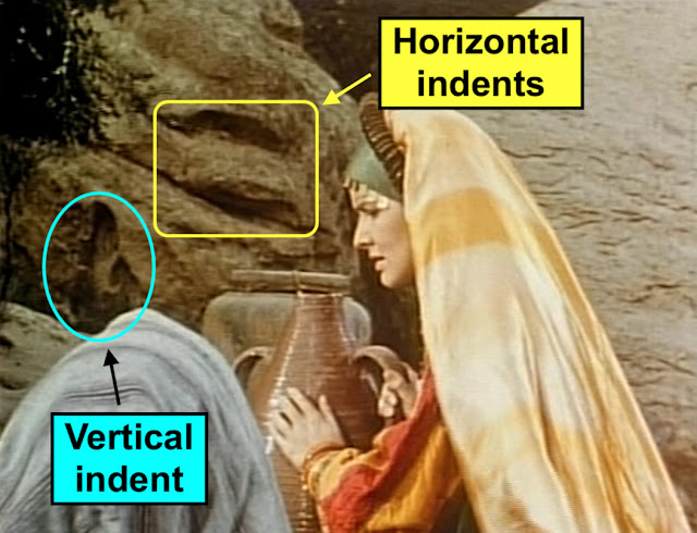
Some things never change — the producers couldn't resist working Wrench Rock into the episode. That's the widely filmed Wrench Rock — also known as Indian Head, Upper Indian Head, Bobby and various other names — directly above the heads of the young couple.
Wrench Rock was used as a prop for an impromptu photo shoot in the episode, with the young man taking pictures of his girlfriend in front of the charismatic rock feature. The Rocky Peak area of the Santa Susana Mountains to the west, specifically a formation I call Pyramid Peak, can be seen in the background.
The young lady mugs for the camera below Wrench Rock.
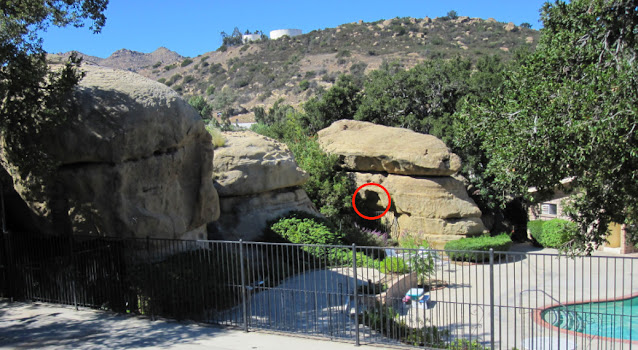
Wrench Rock also got its own closeup, seen in this screen shot. The rock can still be found today on the former Upper Iverson Movie Ranch, although access to the area tends to be difficult.
A number of "wild" mustangs were turned loose on the Upper Iverson during the shoot for "Cade's County" — probably one of the last times that happened on the Iverson Ranch. Here again, the landscape looks even more desolate than it usually does.
Glenn Ford, the star of the series, made it out to the ranch for the shoot, and is seen here riding on the Upper Iverson's South Rim. He usually drove a Jeep on the show, which was essentially a contemporary Western focused on Ford as a small-town sheriff. The show's run on CBS lasted only one season — from September 1971 to April 1972 — with a total of 24 episodes airing.


-Valley%20News%20and%20Green%20Sheet-page%20one-report%20on%20Newhall-Malibu%20Fire.jpg)


-The%20Quick%20Gun-Bell%20Ranch-Western%20town%20looking%20approx%20E.jpg)
-Gunsmoke%2018.17-Shadler-Bell%20Ranch%20Western%20Town%20and%20surroundings-DSCF0262.JPG)


.png)


-Tilted%20Cube%20next%20to%20rec%20center-7098.JPG)


